Mars was once wet, but now its surface is desiccated. Its meagre atmosphere contains only a tiny trace amount of water vapour. But new research says the planet contains ample liquid water. Unfortunately, it’s kilometres under the surface, well out of reach.
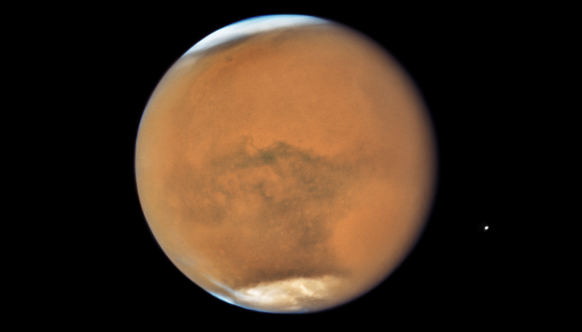
A 2018 photo of Mars during a dust storm, snapped by the Hubble Space Telescope. More than 3 billion years ago, the dusty red planet had oceans and rivers. That water disappeared, leaving only ice on the surface, most of it in the polar caps. A new analysis of Mars' interior suggests that much of the liquid water still exists in the pores of rocks 10-20 kilometers below the surface.
NASA, ESA, STScI
The question of what happened to Mars’ water is an enduring one. There’s ample evidence showing that water flowed across the planet’s surface, carving out river channels, creating sediment deltas, and filling lakes. It may even have had ocenas. The planet was likely warm and wet until around 3.8 billion years ago, during the transition from the Noachian Period to the Hesperian Period. Over time it lost both its thick atmosphere and its water.
The most widely accepted explanation for the water’s disappearance is that the planet’s magnetic shield weakened and that the solar wind blew most of the water away into space.
New research published in the Proceedings of the National Academy of Sciences (PNAS) presents a new wrinkle in the Mars water mystery. Its title is “Liquid water in the Martian mid-crust,” and the first author is Vashan Wright, an assistant professor at UC San Diego’s Scripps Institution of Oceanography.
“Understanding the Martian water cycle is critical for understanding the evolution of the climate, surface and interior,” Wright said in a press release. “A useful starting point is to identify where water is and how much is there.”
Wright and his colleagues worked with data from NASA’s InSight lander, which was sent to Mars to study the planet’s deep interior. InSight aimed to understand not only Mars but also the processes that shape all rocky planets. The mission ended in December 2022 when the lander became unresponsive, but scientists are still working with its data.
During its mission, InSight gathered seismic data with SEIS, the Seismic Experiment for Interior Structure. SEIS was sensitive to Marsquakes and meteorite impacts, and the seismic data is helping scientists understand Mars’ interior, including its core, mantle, and crust.
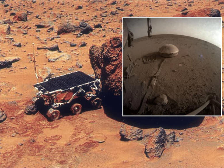
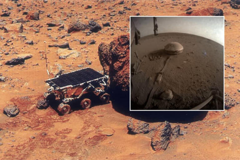
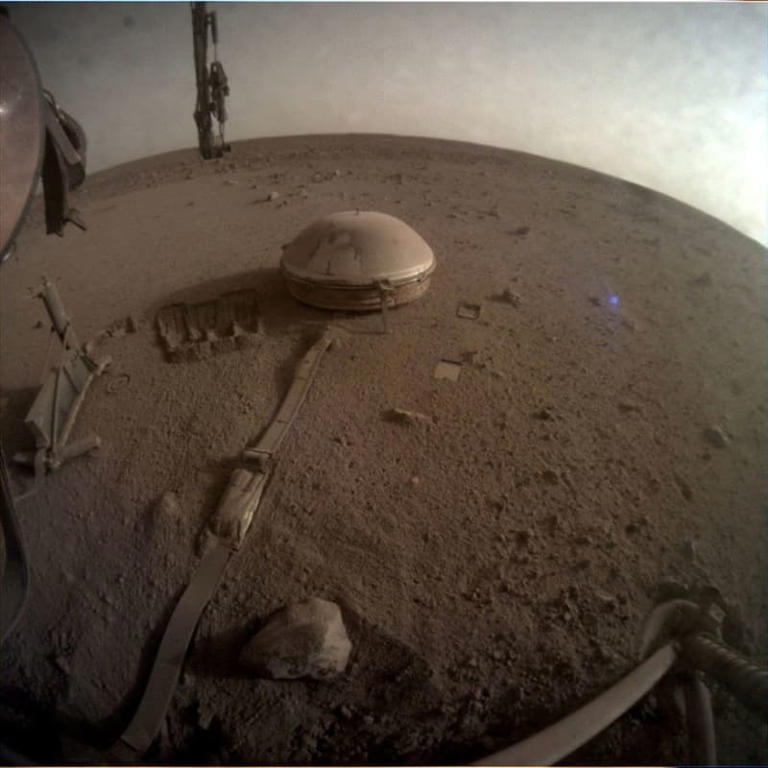
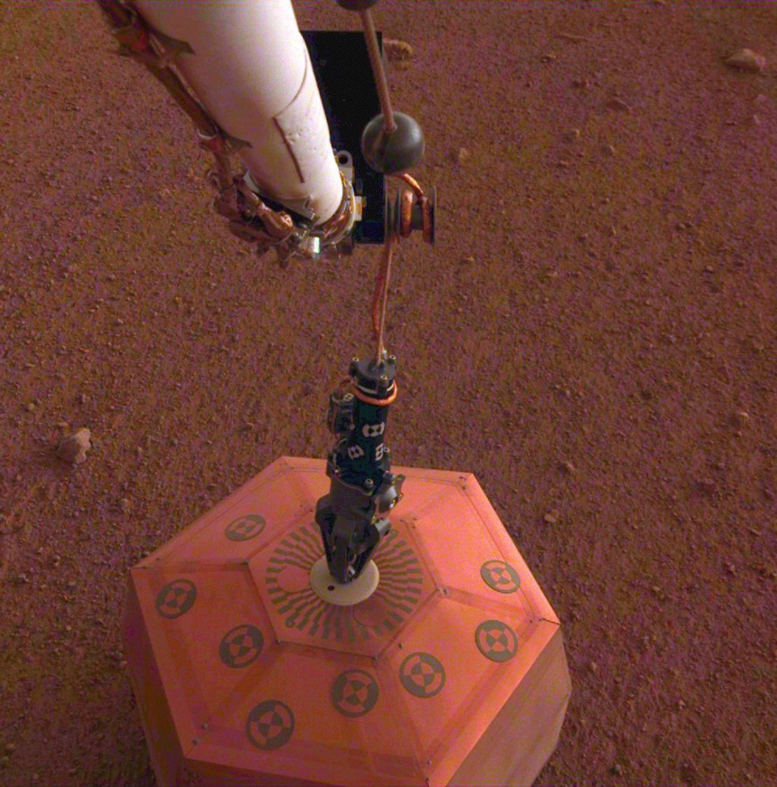
 This image shows InSight’s SEIS, the Seismic Experiment for Interior Structure. It’s housed under a protective dome that shields it from wind and dust.
Credit: NASA/JPL
“Large volumes of liquid water transiently existed on the surface of Mars more than 3 billion years ago,” the authors write in their published research. “Much of this water is hypothesized to have been sequestered in the subsurface or lost to space.”
Seismic waves sensed by SEIS can help determine if some of Mars’ water is in the planet’s subsurface. When seismic waves travel through a planet, they reveal information about the inner structure and composition. There are different types of waves, and some can’t travel through liquids. That’s how scientists learned that Earth has a liquid core.
Wave velocities and directions also reveal a lot. Velocity and direction change when the waves reach boundaries like the one between a planet’s crust and its mantle. Waves also provide information about the density and elasticity of materials they pass through. Changes in wave speed also reveal information about temperature differences.
But conclusions don’t jump out of data and announce themselves. Researchers have to work their way through the data and try to interpret it. The Mars science community is doing just that, and this research is the latest part of the effort.
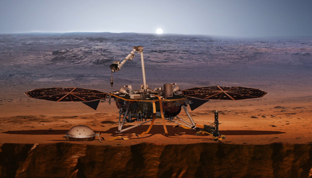
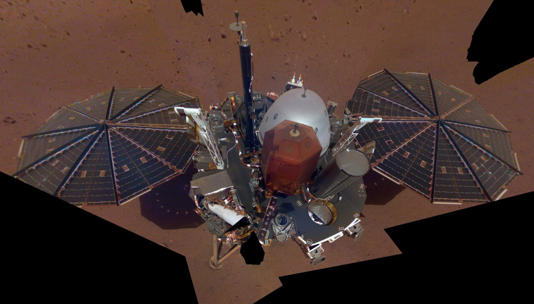
An artist’s concept of the InSight lander on Mars after the lander’s robotic arm deployed a seismometer (domed object to the left of the lander) and a heat probe directly onto the ground. The lander stopped recording data in 2022, but scientists are still mining the data for information about Mars’ interior.
NASA/JPL-Caltech
Previous researchers have tried to constrain the conditions under the InSight Lander in Elysium Planitia. Scientists use the term upper crust to describe the depth down to about 8km and the term lower crust to describe the depth between 8 km and about 20 km. Some research from orbiters showed that the upper crust is like a cryosphere that contains abundant frozen water. Orbital images of recent meteorite impacts appear to show exposed ice.
But this new research goes against that. The authors write that seismic waves “in the upper 8 km beneath InSight is lower than expected for an ice-saturated cryosphere.”
Previous research also showed that the lower crust contains either highly porous mafic rock or less porous felsic rock. However, it was difficult to determine how much water was contained in the pores.
That’s where this research comes in.
“We assess whether Vs, Vp, and bulk density ?b data are consistent with liquid water-saturated pores in the mid-crust (11.5 ± 3.1 to 20 ± 5km) within 50 km of the InSight lander,” the authors write. Vs means the velocity of secondary seismic waves, Vp means the velocity of primary seismic waves, and pb means bulk density. The bulk density means the mass of a volume unit of rock including any liquid trapped in its pores.
According to the authors, the mid-crust is one of our identifiable layers under the InSight lander. It may even be global, but there is not enough data to conclude that yet.
However, the researchers did reach another conclusion: “A mid-crust composed of igneous rock with thin fractures filled with liquid water can best explain the geophysical data.”


 Look: NASA Captured This Mesmerizing Video of An Aurora From the ISS